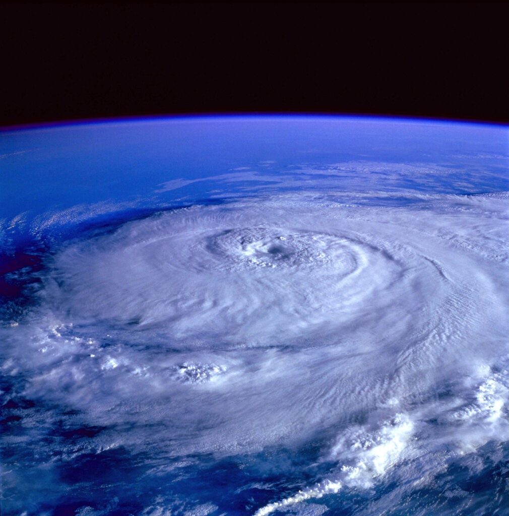
Tropical Storm Helene is no lady. Although the slow-crawling storm is still in development, forecasters expect the precocious system to rapidly mature into adulthood as she narrows her sights on the Gulf Coast. The quickly developing tropical storm is expected to accelerate to a category 3 hurricane before landfall in Florida on Thursday. Helene’s lightning-paced progression could be recorded as the fastest tropical development in history if the current trajectory remains unchanged. While Helene has limited room to operate in the narrow Gulf corridor, she’s making the most of her shortened pitstop by fueling up on the Gulf’s soupy, warm airflow that is bursting with high octanes as she revs for a speedily crash into Florida’s exposed flank. State officials are urging residents to implement an emergency plan ahead of Helen’s blunt assault.
A Slow Season in the Tropics

Although the 2024 Hurricane Season has yet to live up to the overhyped expectations of a stronger-than-usual season, meteorologists are urging residents not to outright dismiss the storm as Helene is forecasted to dump nearly a foot of rain on the Deep South. Helene could become the strongest hurricane to hit the continental United States this season. Meteorologists have been tracking Helene from birth along the Yucatan Peninsula, where she threw off the training wheels early Wednesday morning and peddled ahead with gusto into the humid and welcoming Gulf of Mexico waters. Helene is expected to pack maximum sustained winds of 111 miles per hour, although conditions could rapidly deteriorate should the eyewall crumble upon landfall.
“Damaging hurricane-force winds are expected along portions of the coast of the Florida Big Bend, where a Hurricane Warning is now in effect,” the hurricane center said. “Preparations to protect life and property should be complete by early Thursday.”
Superior Strength in Protection From Strong Storms
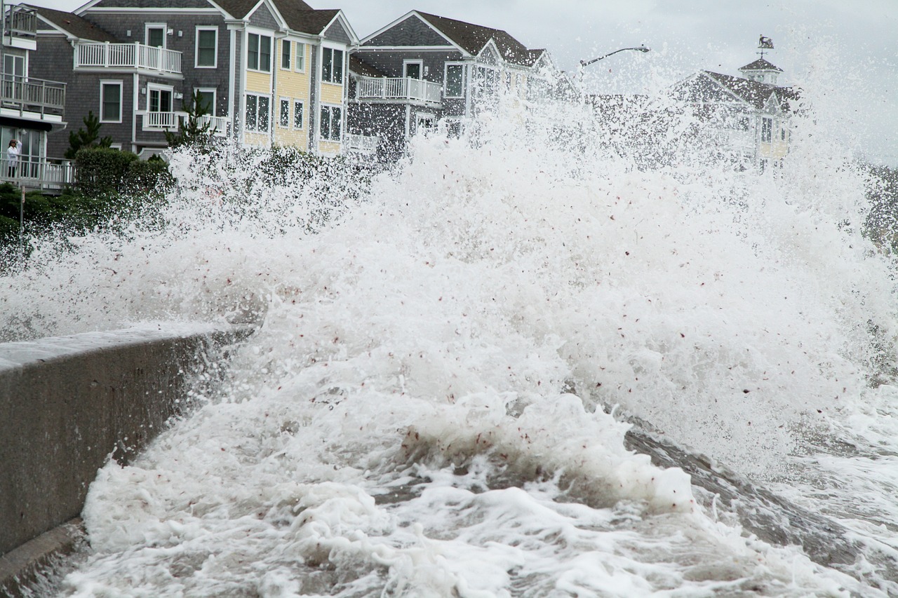
Florida residents aren’t the only citizenry that should fear Helene’s potent strength. Flash flooding is expected from the Gulf Coast to the southern Appalachians and Tennessee Valley through Friday. Although Helene barely outpaces a snail at 9 miles-per-hour, her meandering descent gives her more than enough time to deposit record-breaking rain totals before further degrading into a tropical depression. Those citizens who are unable to evacuate could be in for a harrowing ordeal as the time to evacuate is long gone. While weathering a major tropical storm is never ideal, most residents have little recourse other than battening down the hatches as they nervously ride out the storm’s worst.

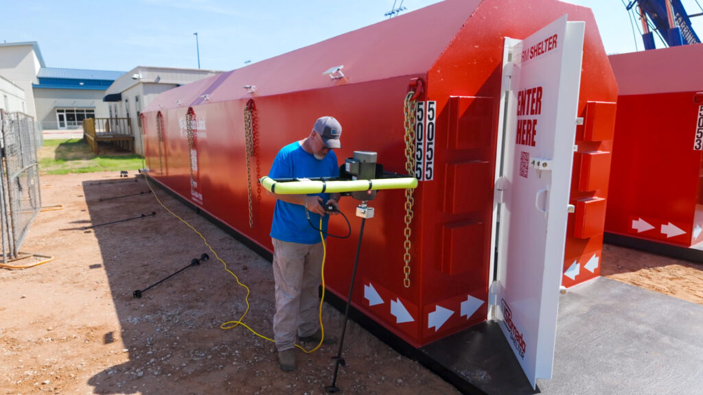
Our community hurricane shelters can safely accommodate hundreds of storm-stricken residents who would otherwise take refuge in the local school’s crowded gymnasium. Reinforced by solid steel welds, our community safe rooms can withstand damaging winds and gale-force driven projectiles at 250 miles-per-hour. Beleaguered communities shouldn’t wince in fiduciary angst at the prospect of cost-prohibitive expenditures either. No town manager or school superintendent should ever place a callous monetary value to any life. Moreover, community block grants and federal reimbursements place a community storm shelter well within the range of affordable line items in the most stringent yearly budgets. Don’t sit idly by helplessly hopeful that the next storm will pass you by. Invest in your community. Invest in superior steel protection for every season.


